The International QGIS User and Developer Conference wants to be the referential conference, and a meeting point for the family of users and developers orbiting around the QGIS project, in order to gather experiences and sharing knowledge about QGIS. The language of the Conference is English.
A QGIS Developer Meeting is a volunteer-driven event where contributors to the QGIS project from around the world get together in a common space - usually a university campus.
The event is normally three days in duration and we hold two such events each year. During these events, contributors to the QGIS project take the opportunity to plan their work, hold face-to-face discussions and present new improvements to the QGIS project that they have been working on. Everybody attending the event donates their time to the project for the days of the event. As a project that is built primarily through online collaboration, these meetings provide a crucial ingredient to the future development of the QGIS project.
The event is planned largely as an ‘unconference’ with minimal structured programme planning. We do this to allow attendees the freedom to meet dynamically with those they encounter at the event. Those sessions that are planned are advertised on the event web page and we try to enable remote participation through video conferencing software. Although our hosts are not funded and donate the working space to us, we show our appreciation by making one of our software release’s splash screens in honour of that host, which is a great way to gain exposure of your institution and country to the hundreds of thousands of users that make use of QGIS.
Campus de Elviña | 15071 A Coruña
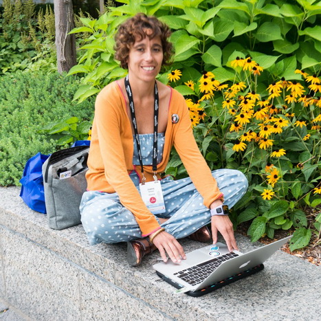
Joana is a technologist, working in the GIS field for more than 10 years. During this period, she has been quite involved in the FOSS4G community. From 2017, she has been a OSGeo charter member and the vice president of OSGeo Portugal. Joana has been an earlier adopter and enthusiast of QGIS, and she carried that enthusiasm through the development of classes and training materials, including the design of a GIS course for FAO, entirely based on QGIS.
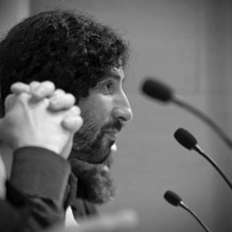
Victor Olaya is a GIS developer and writer. He is the creator of the QGIS Processing framework, and has been working on developing analytical tools for GIS during all his career. He wrote “Sistemas de información Geográfica” a 900+ pages free book about GIS theory, and its shorter companion book, “Introducción a los SIG”. An English translation of the latter was recently published.
If you want to sponsor this event and give value your brand, here you can see how in this document